Pume shelter of the great Dinara
Short lines about Dinara
Natural 84 km border between Croatia and Bosnia and Hercegovina, the youngest member of “Park of nature” category (since 2021) and the highest mountain in Croatia. Dinara is positioned between the river Cetina in the SW and Livanjsko Polje in the NE. The highest peak (Troglav – 1913 m) of the massive Dinara is located on a mountain Troglav, one of the 3 mountains (Dinara, Kamešnica and Troglav) that create this massive and is located in BiH. Croatians highest point lays on the mountain Dinara and it is called Sinjal (1831 m).
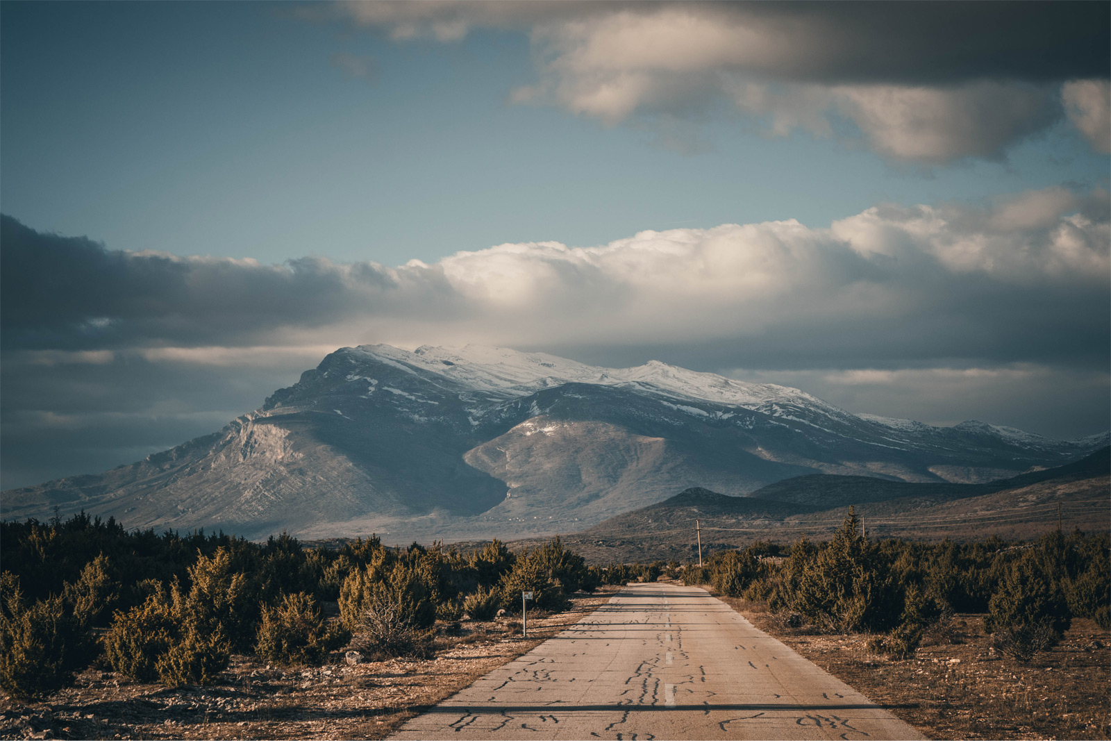
It is mostly recognized for its curvy grass fields, tall and wide eastern cliffs and its absence of trees. It is also famous for the wind bura that often blows hard in this areas. Compared to Velebit for example or Biokovo it is less attractive, but believe us when we say that Dinara has its charm.
Our plan
Our plan for this hike was to reach the highest point, Troglav. Unfortunately, due to very strong bura we had to cancel our ascent to the top on the 2nd day. Even though a bit disappointed we were very happy with our hygge night at the Pume shelter nonetheless.
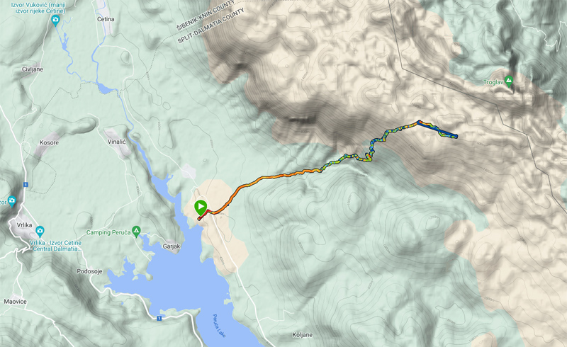
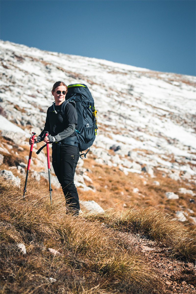
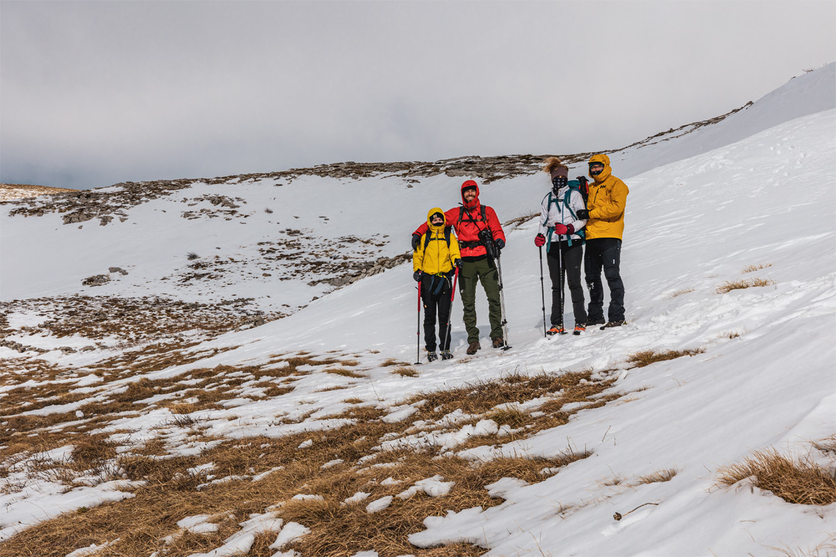
As we have walked this trail few times before we knew what to expect in terms of terrain and weather. The trail in total was around 24km and in general not very difficult. We could divide it in 3 parts. The first one through the woods, second on the steeper more open terrain and the third follows the wide grass hills to the hut.
Day 1
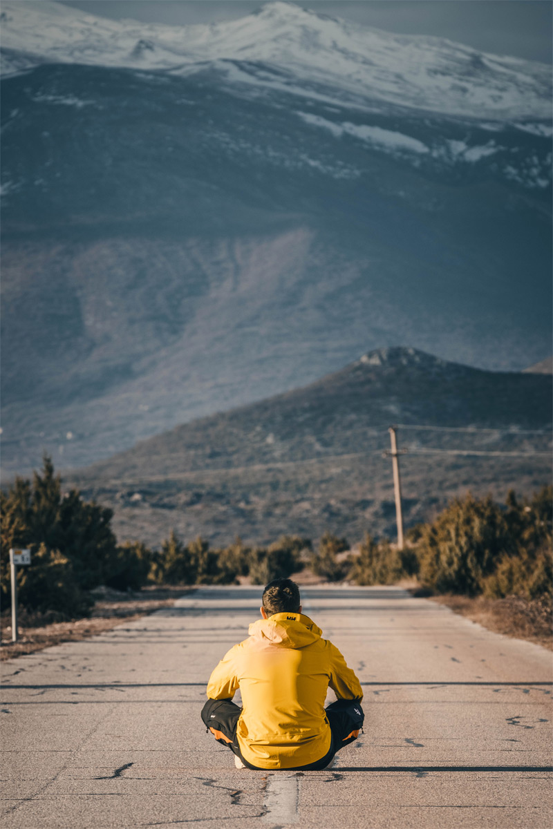
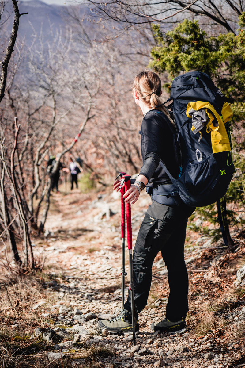
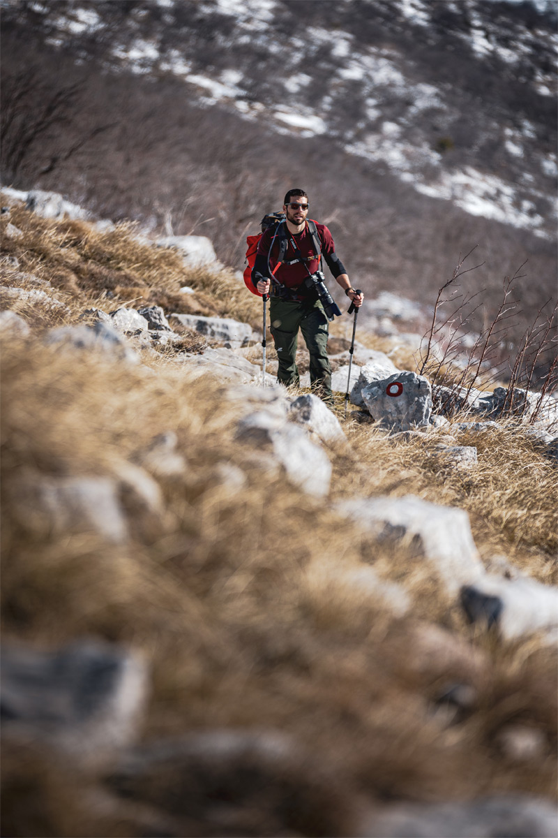
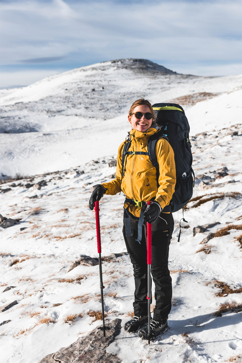
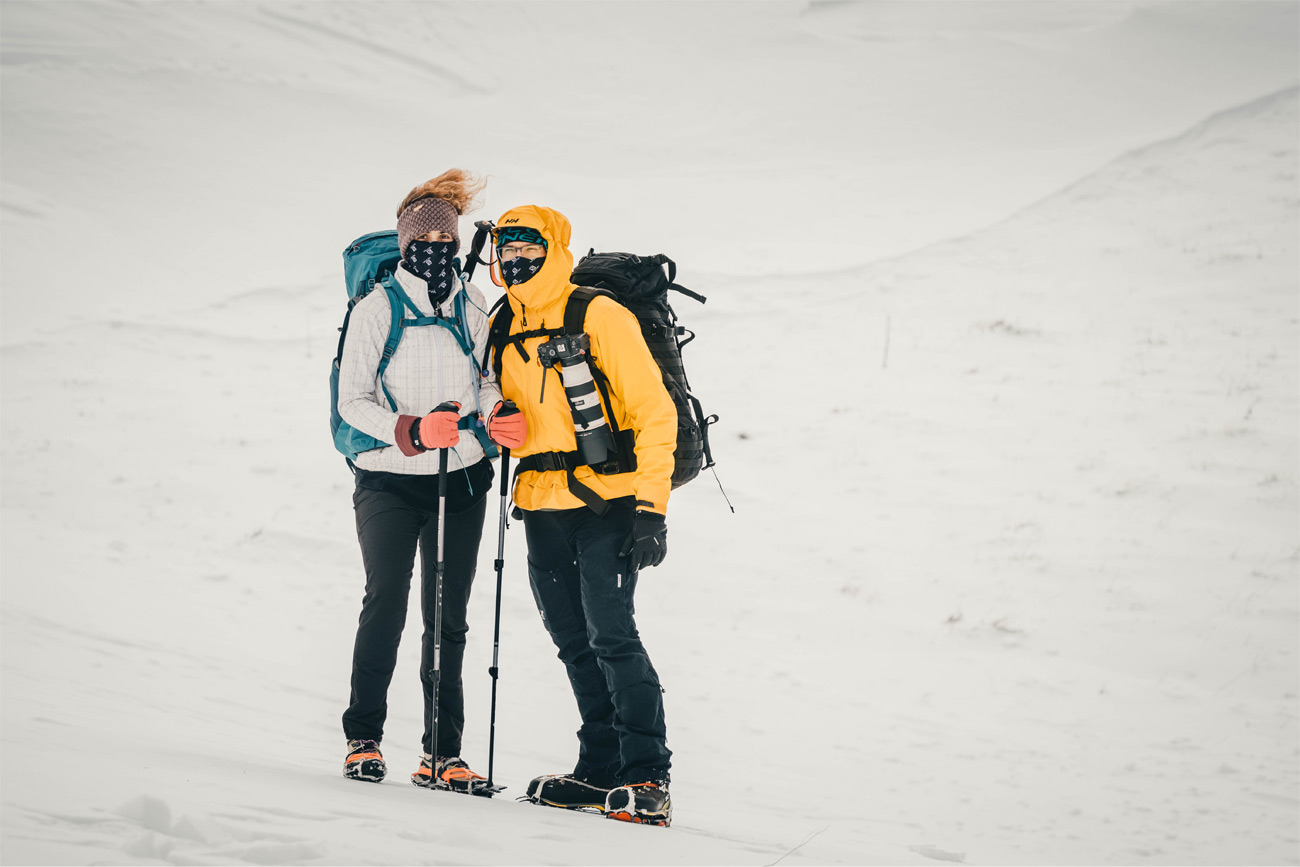
We started the hike at 10 o’ clock from a small village called Ježević. To the shelter Pume it takes 4.5-6h depending on the tempo. We had enough time so we took it slow and enjoyed the weather. Dinara is huge and very massive. It showed us that at the very start when we stood in front of it. The first part followed the dirt road for 2 km and one portion of it can be covered with a regular car.


After 2 km of dirt road we entered the forest part. The trail was nicely marked with renewed old markings. Also there were new educational boards since the last time we have been here. The weather was perfect, 18 degrees and full sun. Knowing the weather on Dinara, it was unquestionable that snow and bura would cool us down later on.
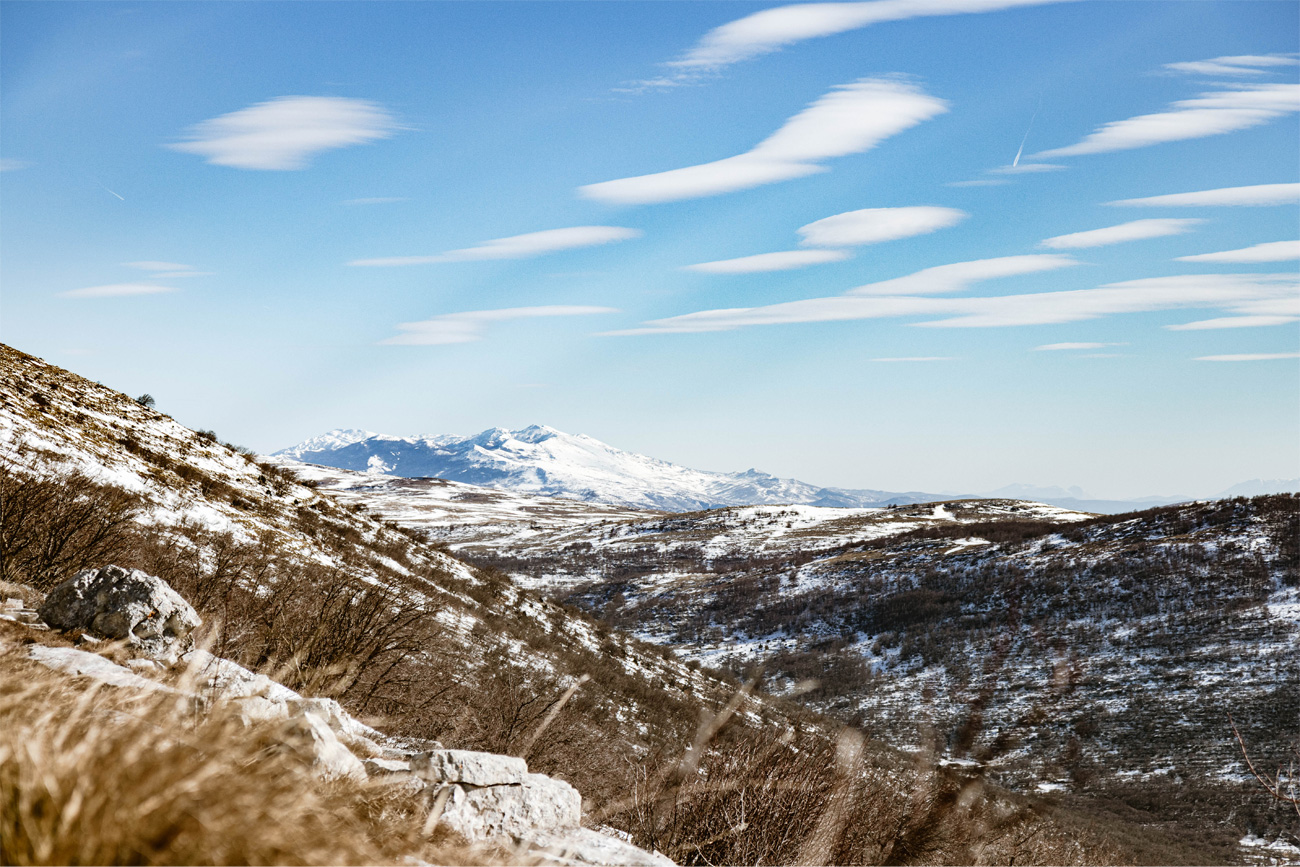
After Dinara, The Dinarides continue with a mountain called Kamešnica. Another part of the Croatian – Bosnian border. Majority of it lays in BiH with its highest peak at 1856 m called Konj (Horse). The highest point on the Croatian side is called Glavaš (1308 m). We had a pretty good view of it throughout the whole trip indeed.
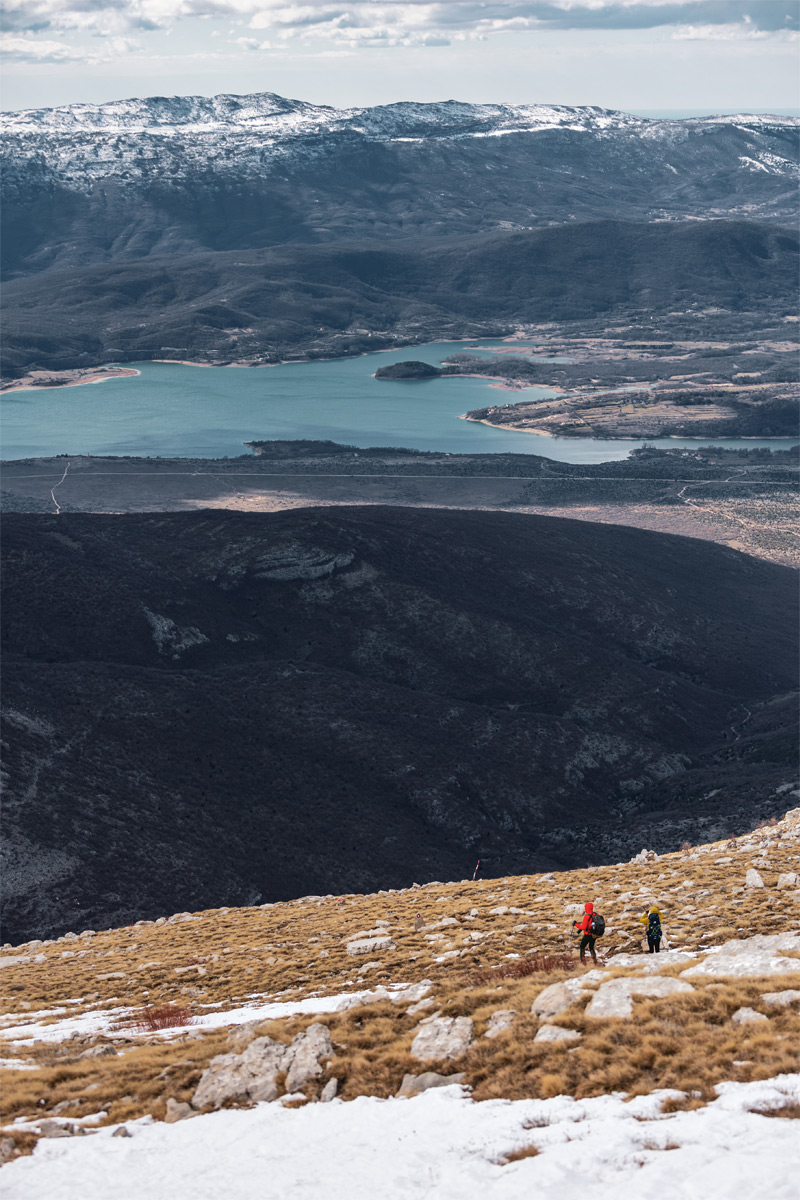
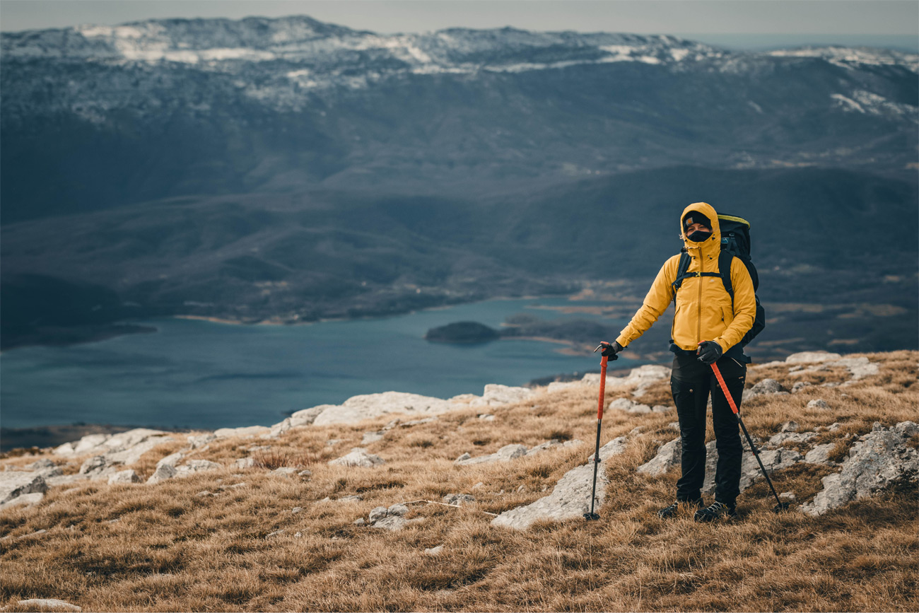
After the forest, the path goes on in serpentines to cancel out the steeper incline of this part. From here we could see the whole Vrlika area. The artificial Peruča lake layed in the the foothills of Dinara on one side while having mountain Svilaja on the other.
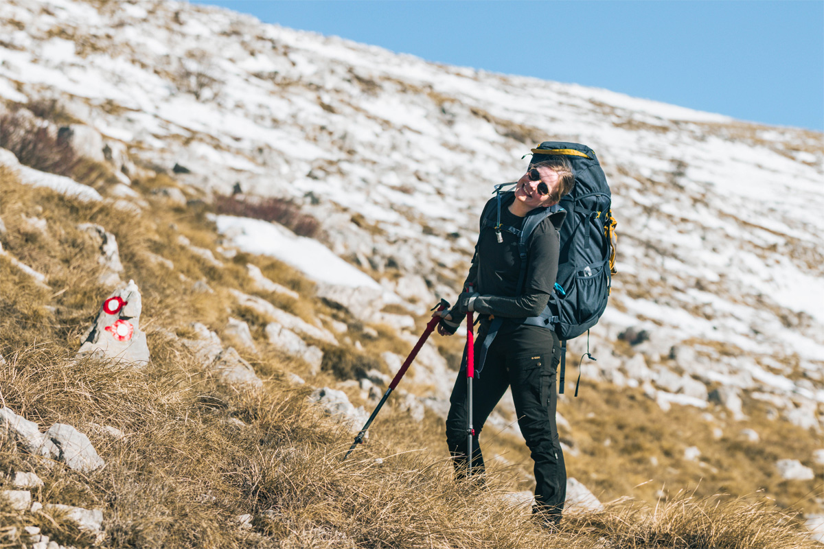
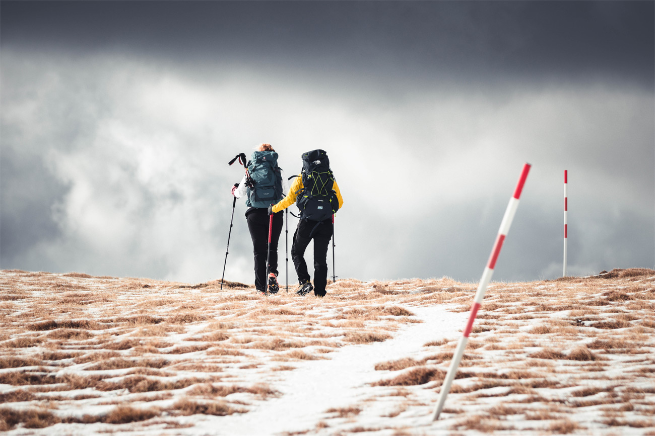
We were slowly getting near the third part. The saddle after which almost always bura blows at least a bit. Fortunately for us this time it didn’t, but the temperature was sensibly lower. We also had to put our crampons as the snow was more frozen here.

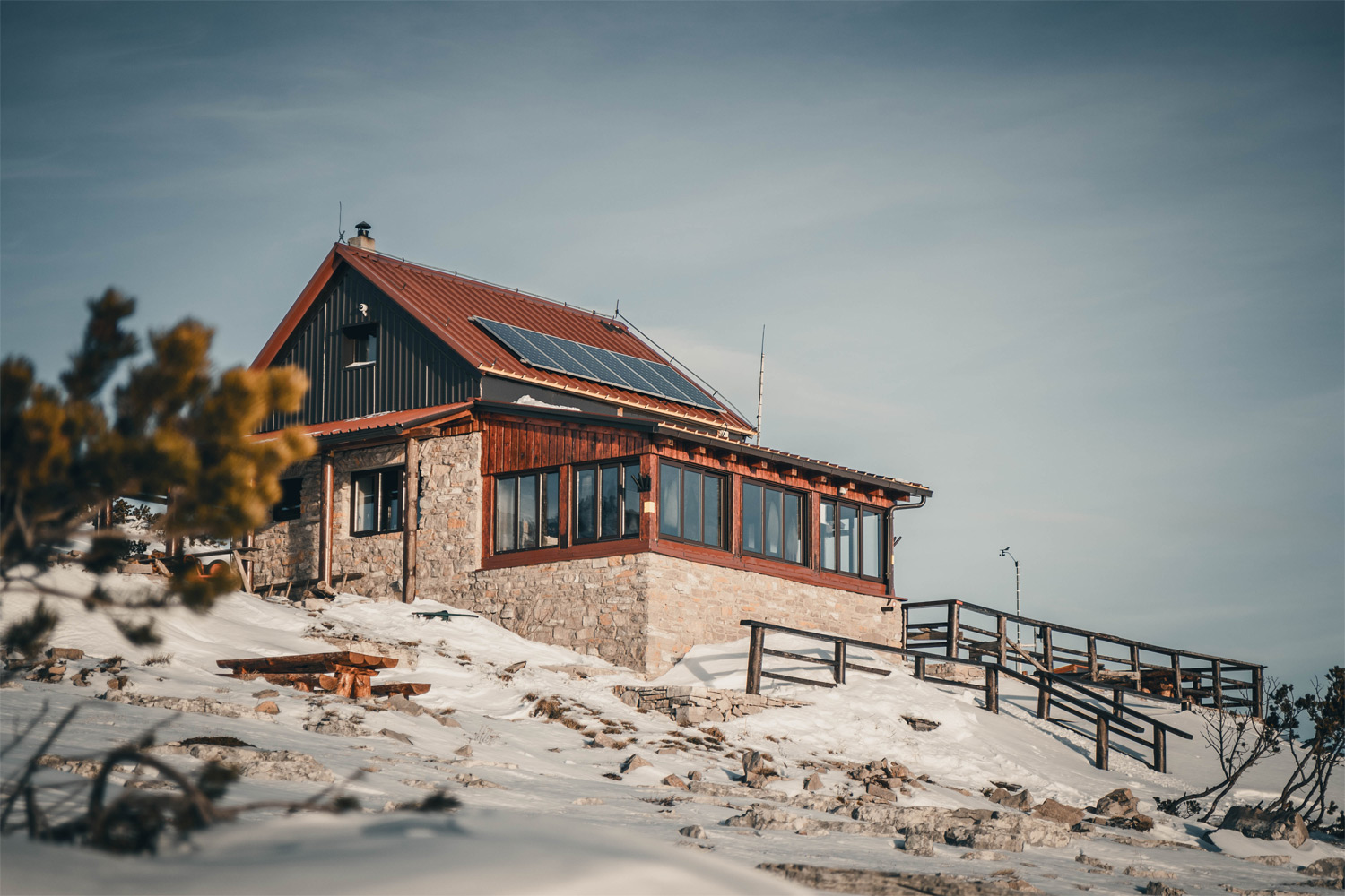
The hut
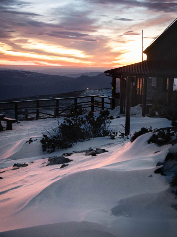
We could already see the hut from here, but we still had 2.5 km to go and we were dying to see the sunset! There was much more snow here and it was such a pleasure walking surrounded by it on all sides. The sun was setting so it wasn’t strong, snow was around us and views as far as your eyes can see. Perfect. Finally, step by step we arrived.

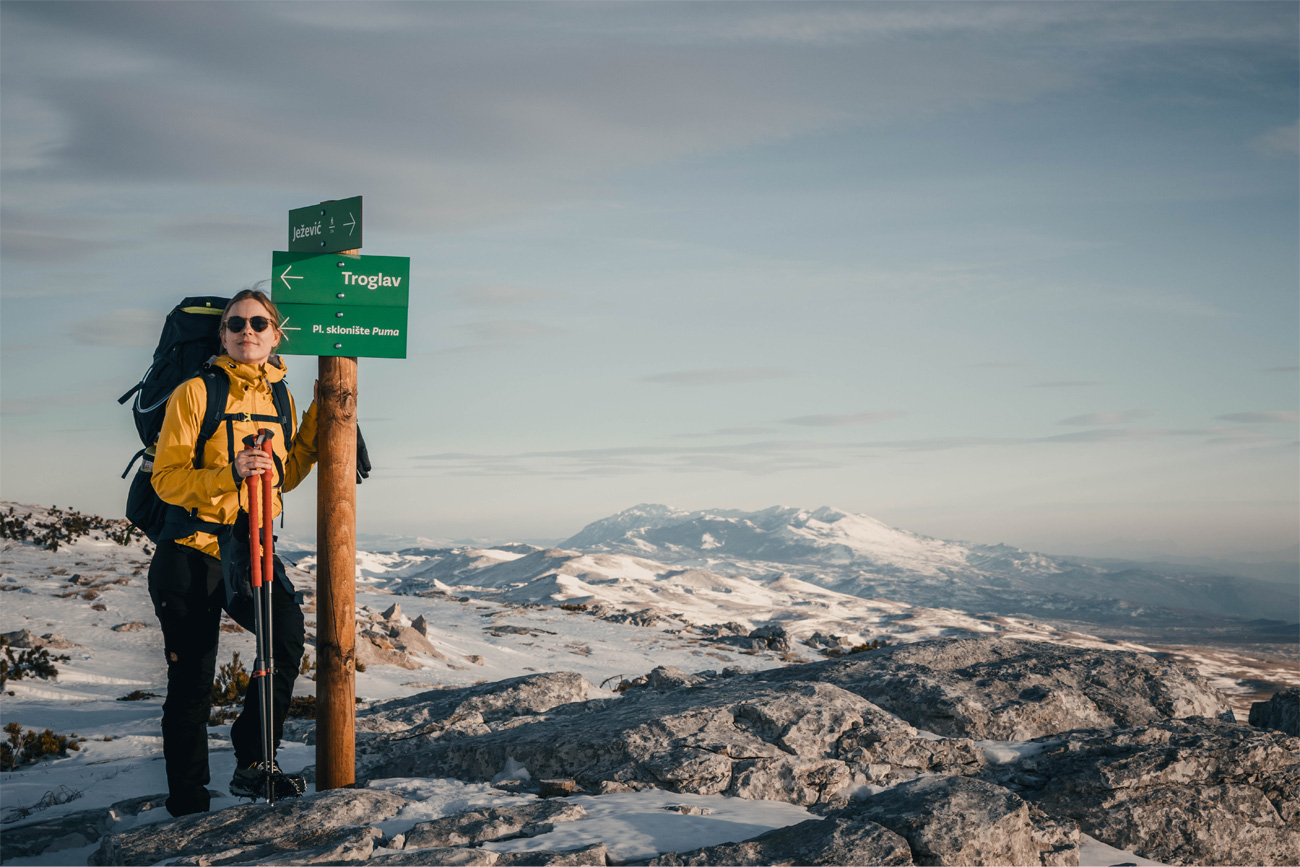
Pume is the Croatians highest hut located at 1630 m and it serves as one of HGSS (Croatian mountain rescue service) operating points. It had all we could need from a shelter and much more if you ask us. Beautiful hut and without a doubt a view to die for.
After a nice cup of hot tea we were blessed with a spectacular sunset. We could watch this every single day forever. What a bedtime story!


Day 2
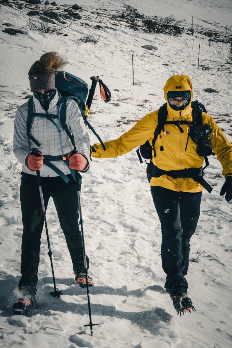
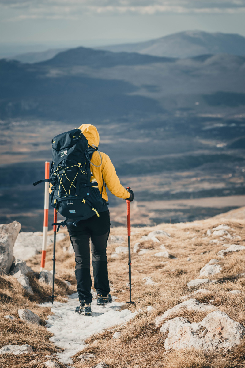
As mentioned, this is the birth place of bura. It blew the whole night so hard that we felt its force on the shelter walls. In the morning it blew enough to throw a lighter person into a fence. At that point we still considered continuing to Troglav.


30 mins later, bura lifted the snow dust and covered the whole area. Our visibility reached no more than 10 m. Unfortunately we had to cancel our ascent and head back. Needless to say that without gaiters and crampons this would have been a very tricky descent. Besides, you shouldn’t even consider not bringing them in the first place. We waited a bit until the snow dust settles to start the hike down.

It can be annoying sometimes, but it is a valuable experience and part of the mountain folklore. We were reaching the saddle where the wind weakens a bit and enjoyed the views as now we faced the other direction.


Just like we figured, the wind weakened after the saddle and we could take some clothes and soon the crampons and gaiters off. Now all we had to do is to enjoy the Peruča lake for the next 6 km. Tough job.

Once we hit the forest the views stopped. Soon after the dirt road began and needless to say it wasn’t our favourite part since our feet were already a bit sore. Nonetheless we walked those 3 boring kilometres exchanging our thoughts and commenting all the seen beauty.
Despite not being as dynamic as Velebit or having its surroundings alter constantly, Dinara is absolutely beautiful. Different trails and sides of this massive mountain offer different experiences very much worth the walk. We hope you enjoyed our blog and maybe we gave you a push towards visiting this old beauty.