Day hike to the top of Kamešnica
For some reason Kamešnica mountain didn’t receive a lot of attention from us and completely unjustified on our part. As a kind of a sister to the Dinara mountain it creates another boarder between Croatia and BiH. It is positioned from the city Sinj in Croatia to Livno in BiH.
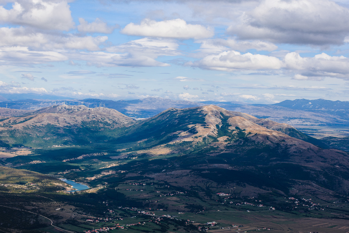
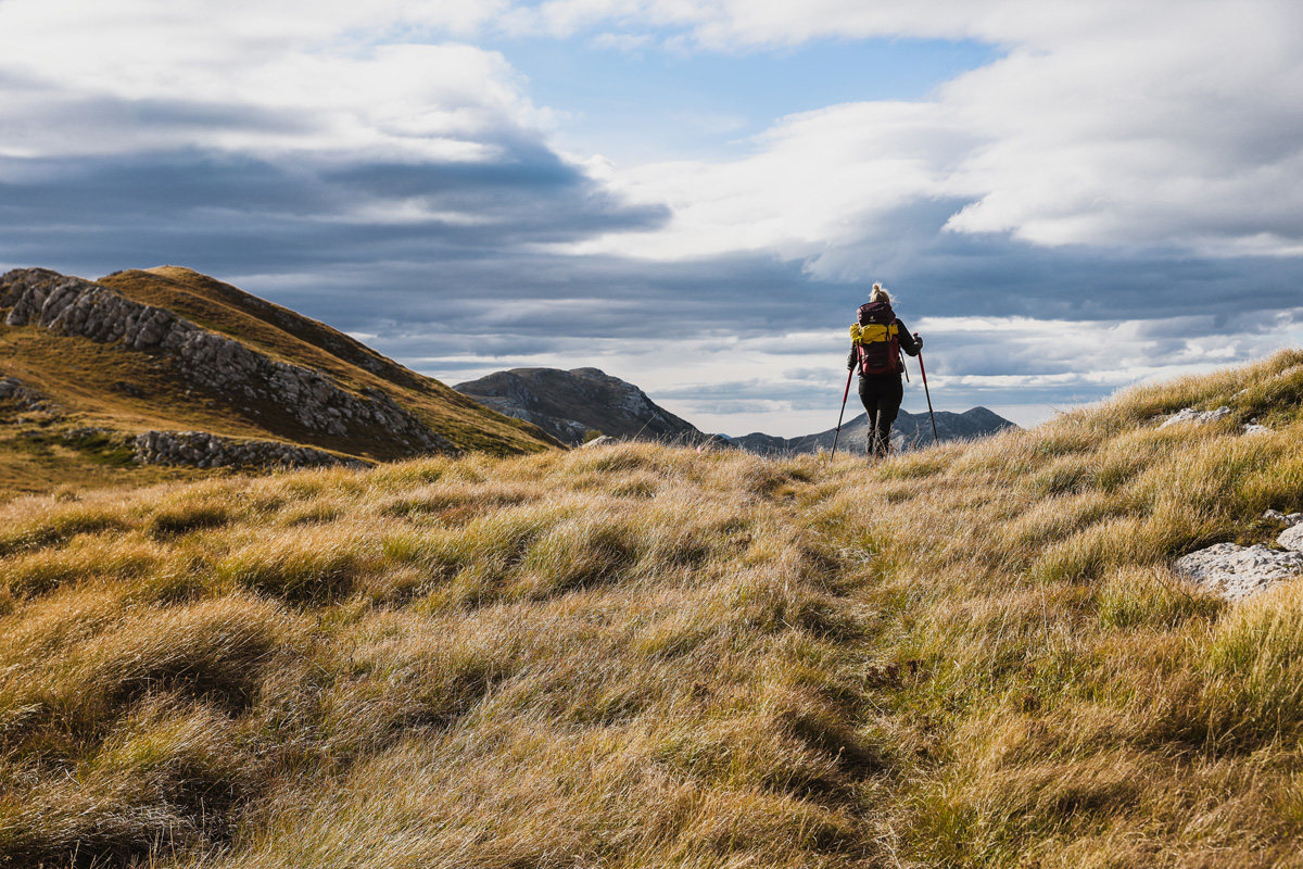
Similar to Dinara, it shares the general landscapes with wide open grass fields throughout the whole hike.
The route
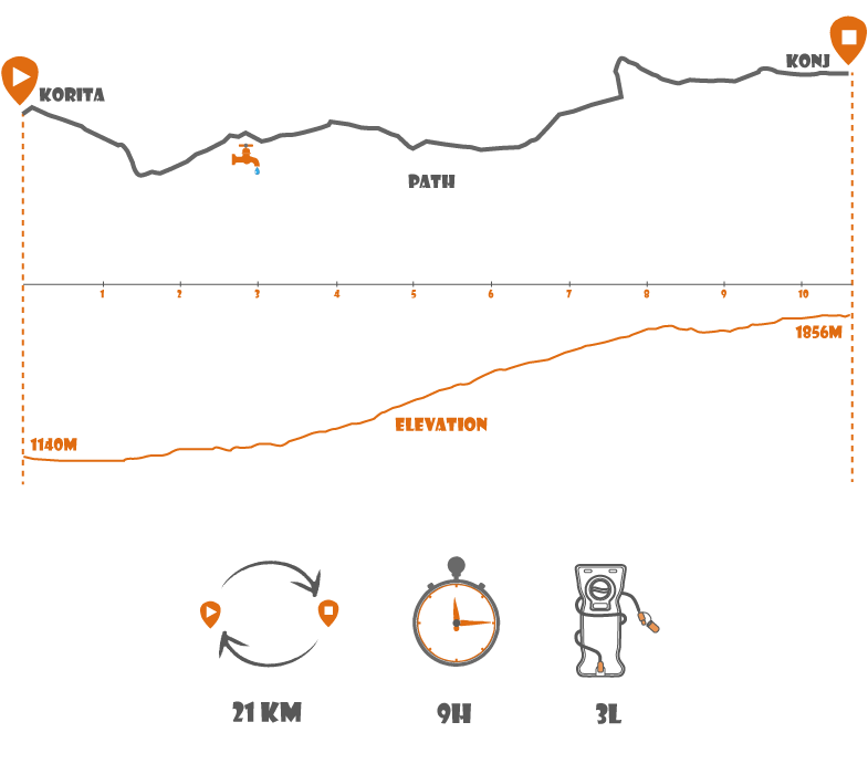
The starting point was a parking lot at Donja Korita. Roughly 40 min drive from Split through places Dicmo, Trilj and Grab to finish it off with a dirt road that reaches a T-cross section with the parking lot on the left side and a another dirt road to the right. You can leave the car at the parking lot, but if you have a bit higher suspension car it is possible to continue down the road where you reach a dead end and saving cca 2.5 km of a boring-ish walk.
After passing a small water fountain the trail begins. That is also the only spot on the trail for a water refill, so it is important to take it in consideration.
The start
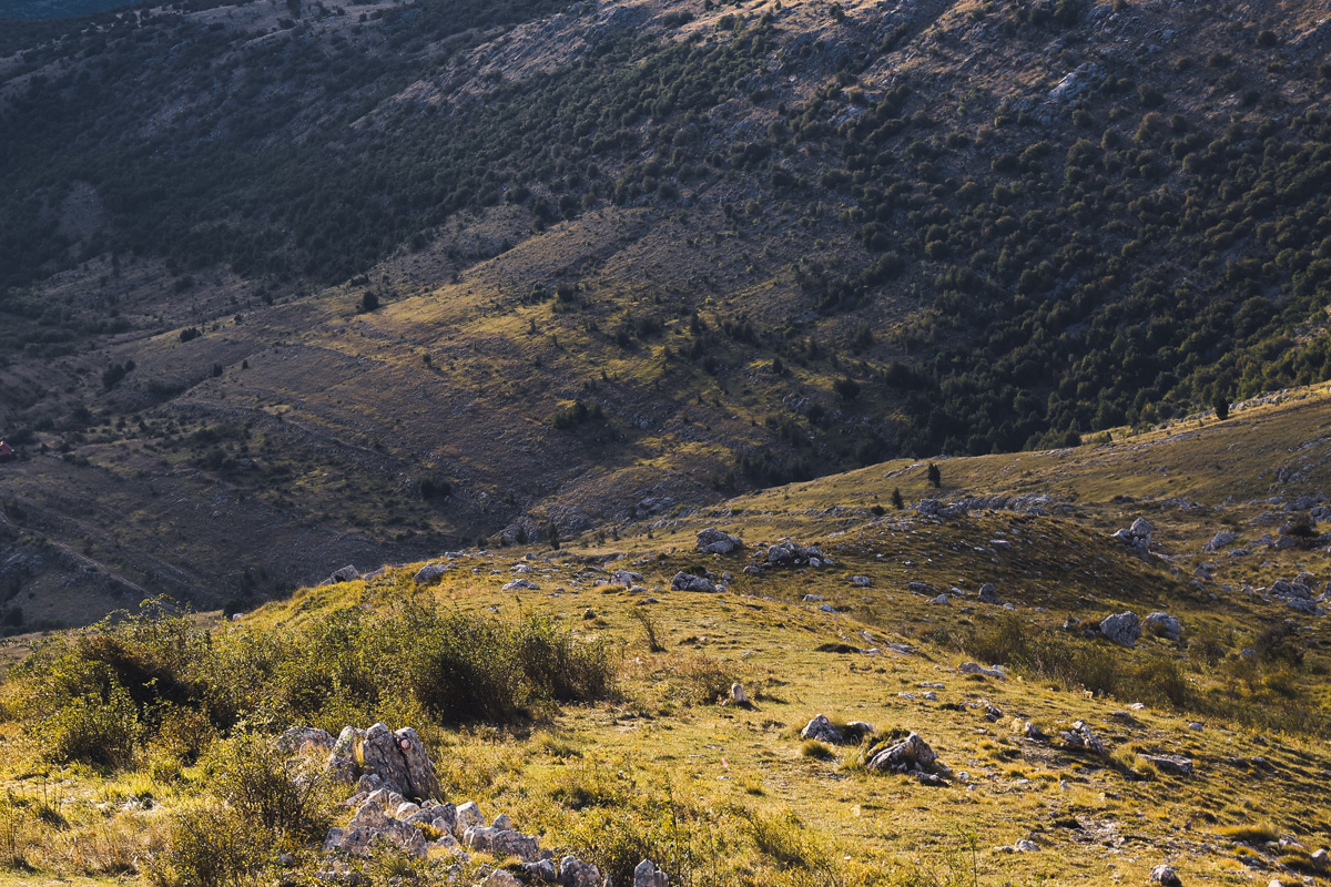
As mentioned above, the 2.5 km after the parking lot is a typical dirt road surrounded by small hills. It is not so bad at when starting, but quite boring when returning. We happened to be very lucky to run into an older local guy who gladly gave us a lift to the water fountain. All he wanted in exchange was a blowj…. just a conversation to waste some time. He was very funny, kind and a bit special as they do get in those areas. It is hard to get the idea if you are not a local.


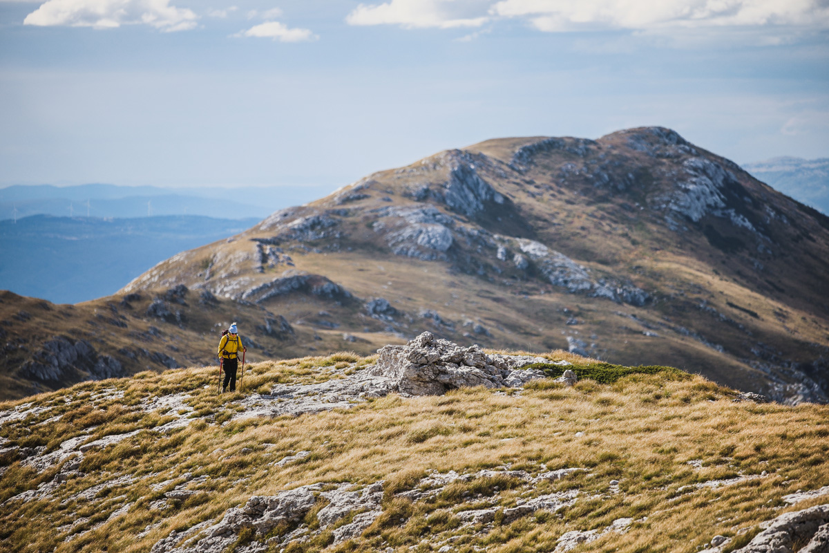
We started the hike and the beginning was quite nice in the valley. The trail wasn’t difficult and the markations were clearly visible. After the first couple kilometers the trail enters start to climb up entering the vast pastures. That part was nothing special, at moments a bit boring but it all starts to pay off once we got closer to the ridge.
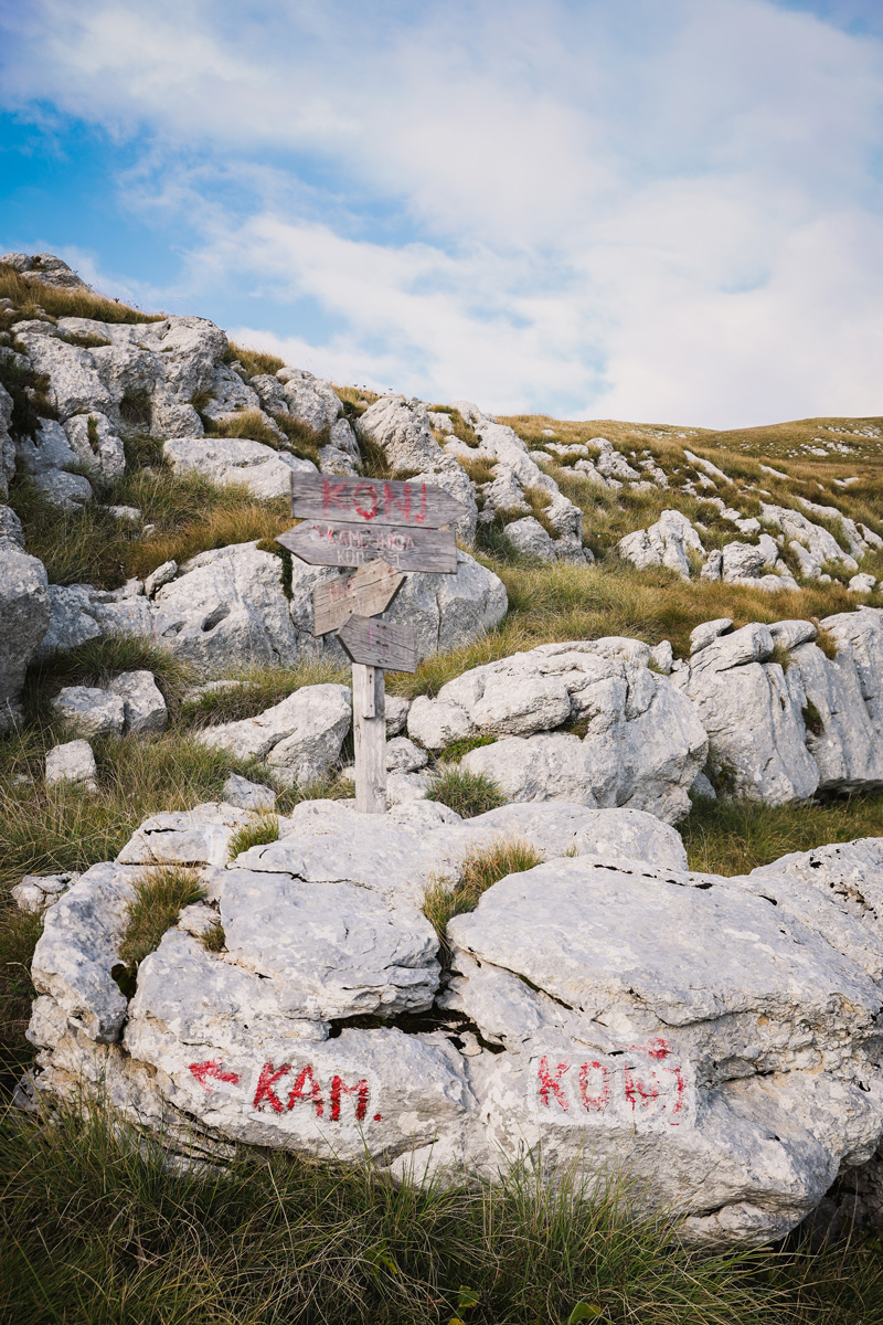
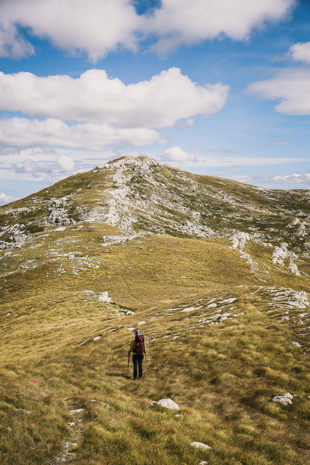
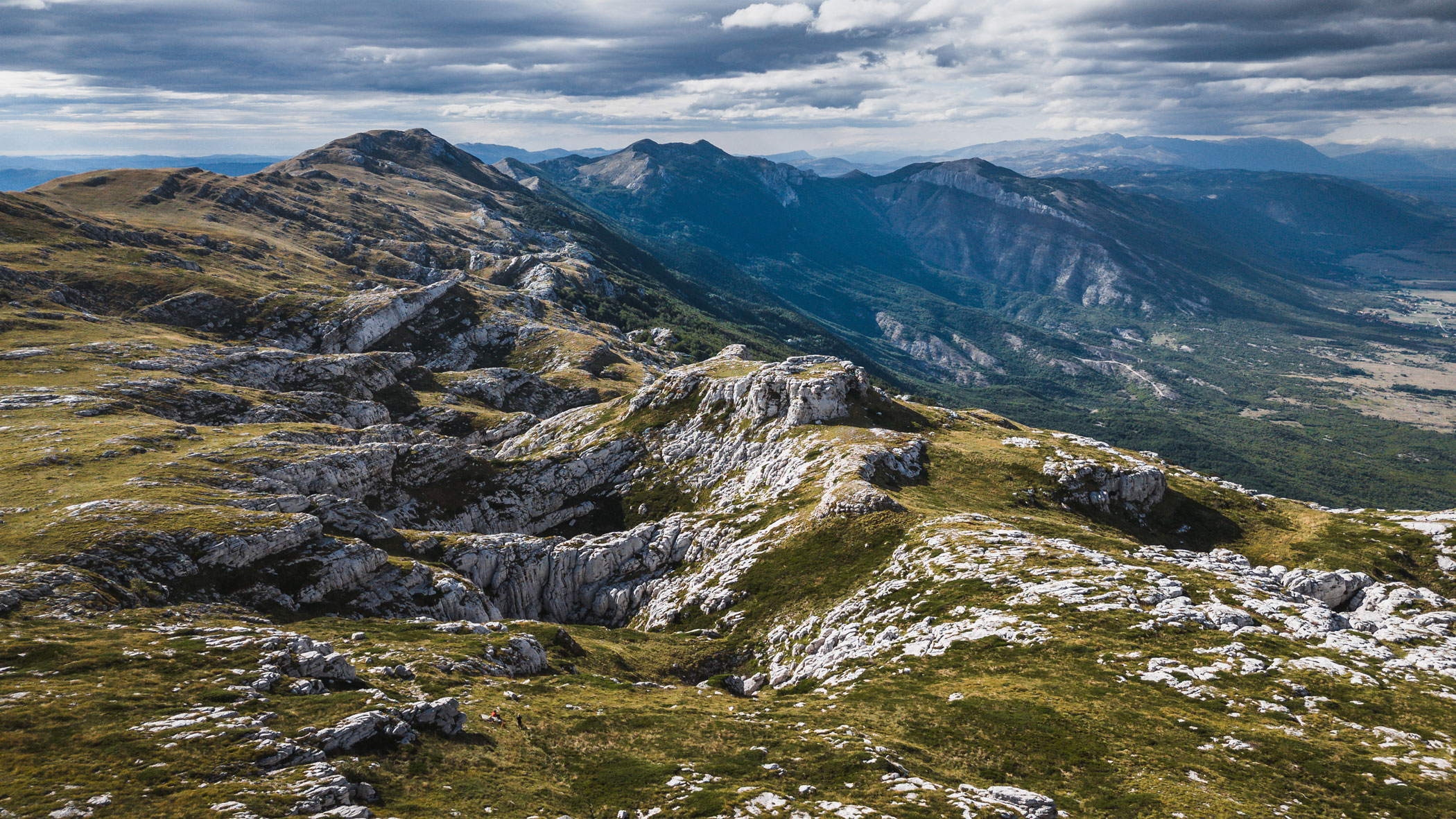
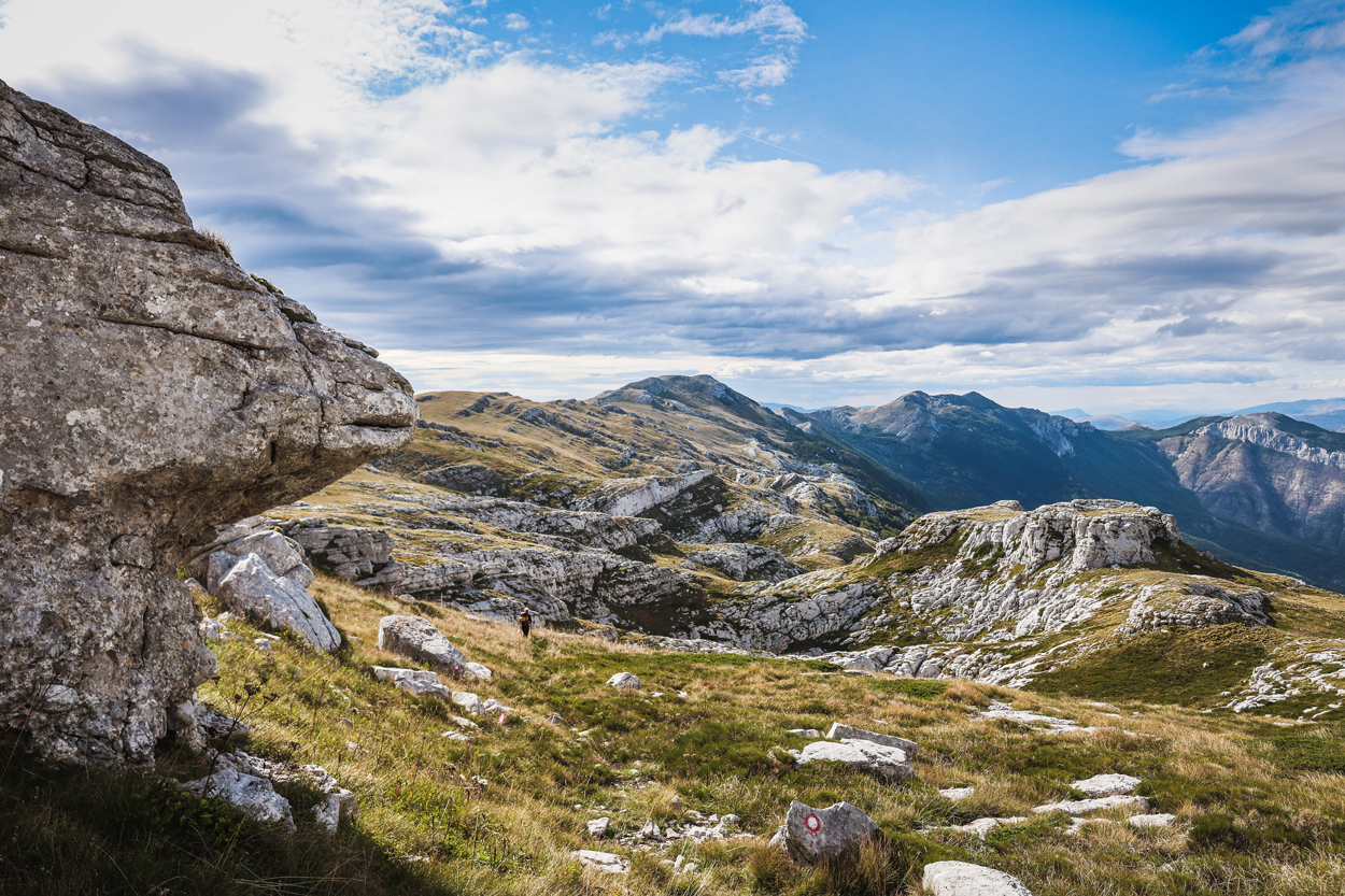
At one point, just below the ridge there is a T cross section. The turn left leads to the highest point of Kamešnica in Croatia called “Kamešnica” or “Kurljaj” and the right turn leads to our todays goal, the peak Konj. Konj is the highest peak of Kamešnica mountain and is located in Bosnia and Hercegovina. From that point on all we had to do is follow the ridge straight to Konj.
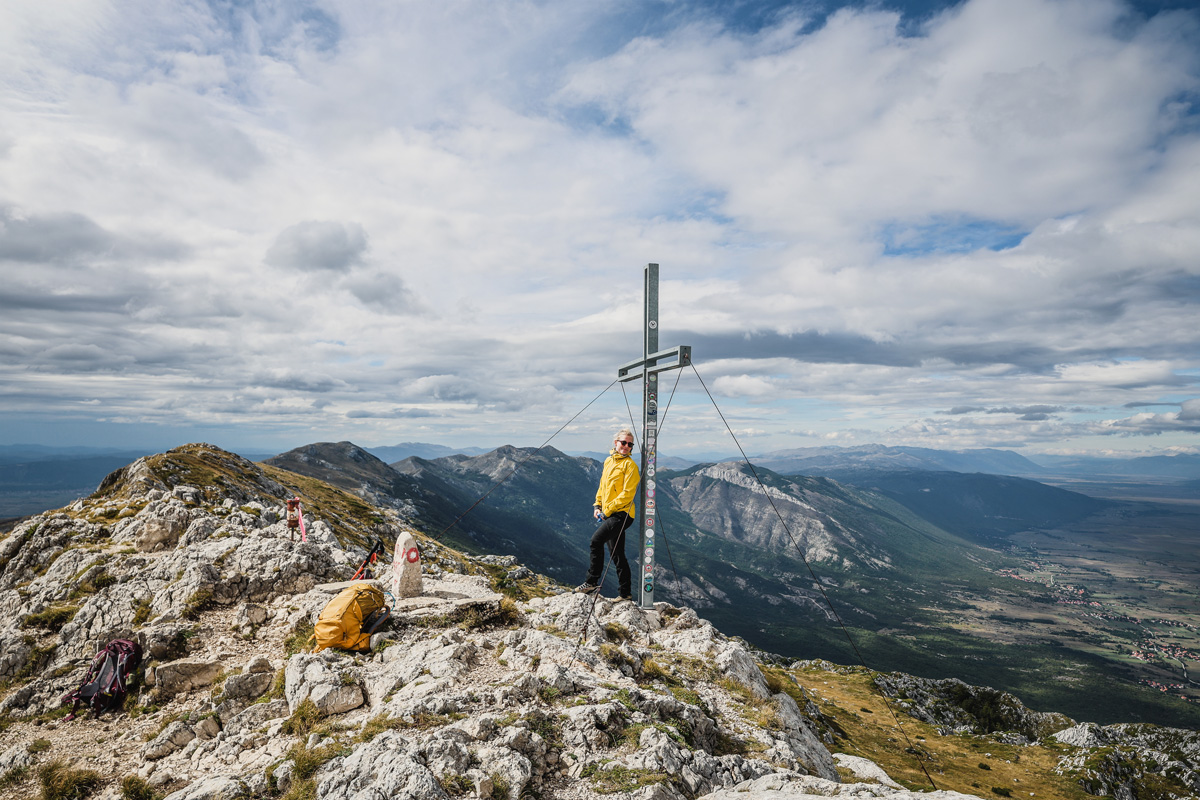
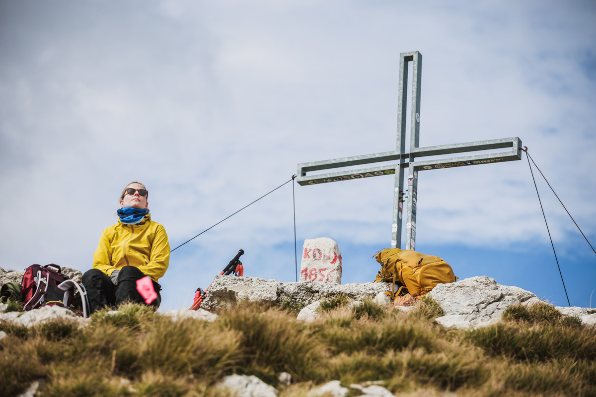
The peak – Konj (Horse)
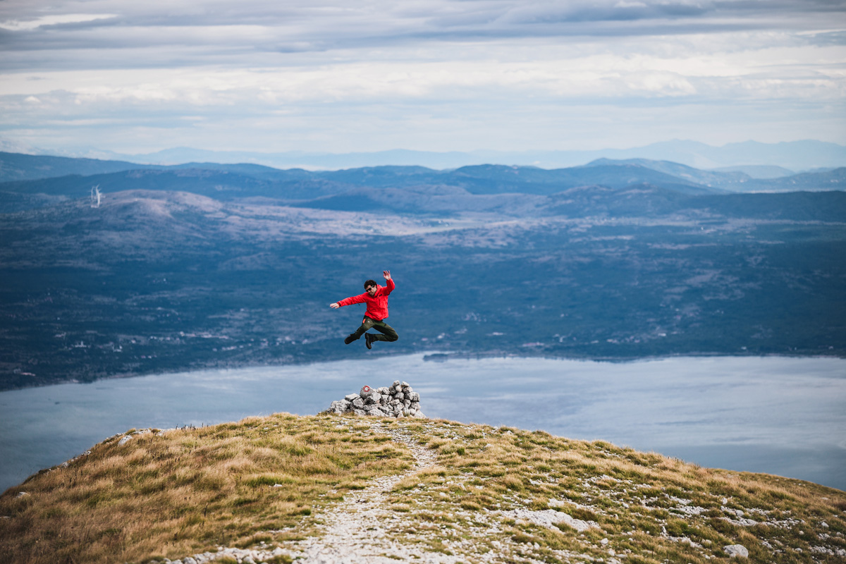
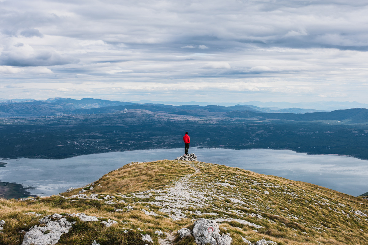
After 10 km and cca 5h we reached Konj (1856m). The views really were spectacular. a 360 view of Buško lake, mountains Dinara, Biokovo, Čvrsnica, Mosor and many other. Of course we took some time for a photo shoot, but had to do it fast as thick clouds were catching up behind us.
DEsCENt
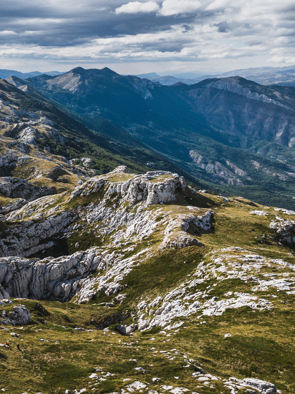
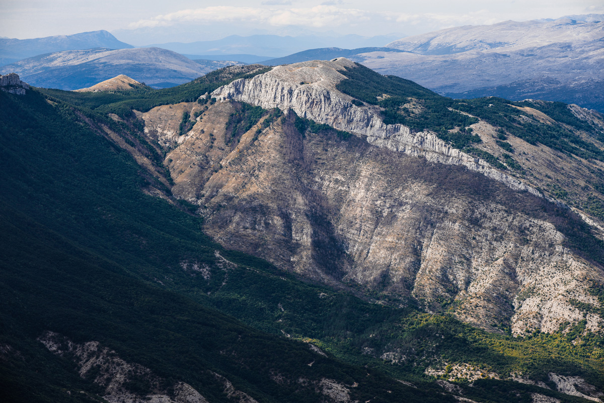
As the weather itself wasn’t sure of its next move we started to descent. It happened to be that one the way down we saw the best views of the day. A structured group of rocks looking like some medieval fortress. Absolutely stunning. Could you imagine a better spot for some music video stage or crowning the new king of Gondor? Hardly…
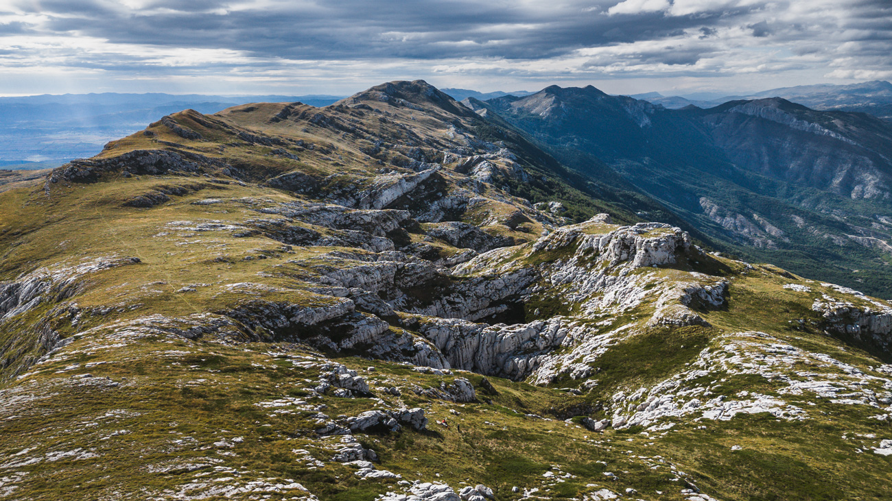
We took our time as if it was really spectacular and not really noticeable when we were ascending. This different angle made the world of difference.
We finished the whole trail of 21km in 9h. The trail is not that difficult and could easily be done much faster, but obviously the photography took its toll. Considering the landscapes we didn’t mind at all! Kamešnica proved to be very interesting and beautiful. And we believe it might be even better during the winter.
Until next time,
Hygge Trails of Croatia
